Walking Trails
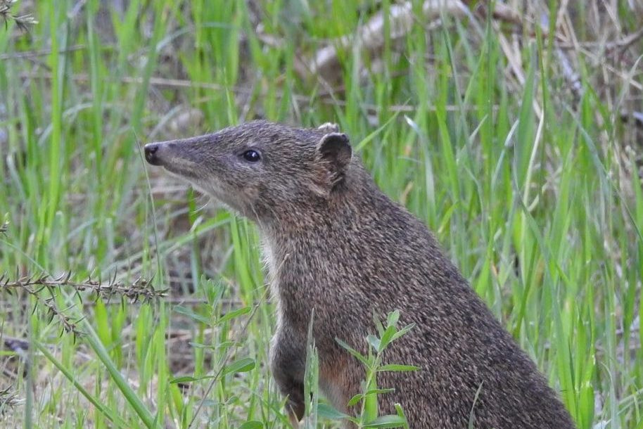
At Scott Creek Conservation Park, you can enjoy a healthy walk in nature, discover hilltop views and look out for the wildlife.
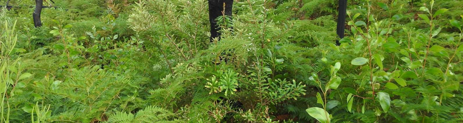
The Park’s extensive walking trails once provided access to many small landholdings. The ridge tracks give superb views of steep heavily wooded slopes and gullies and the landscape beyond. The many seasonal creeks give rise to an enormous variety of native fauna and flora species.
The tracks are clearly signposted and will take you through open woodland and grassland, along creeklines, and passed historic ruins including the Almanda Mine site. Please be aware of the seasonal closure around Greenhood Track (Gate 18 and Gate 21) due to Phytophthora. More information on Phytophthora is at the bottom of this page.
Because of the high conservation value of Scott Creek Conservation Park,
dogs, bicycles, horses and camping are not permitted in the Park.
The Friends’ map of the Park shows all the Park’s walking tracks, as well as some of the key areas where we have done work over thirty years.
We also have for sale a highly detailed contour maps, double sided, in A3 (1:10,000 scale) or A4 (1:15,000) sizes. You can buy these maps by contacting .

Please be aware that the the nearest public toilets are at Scott Creek Oval in the township of Scott Creek to the west of the Park along Scott Creek Rd.
Seasonal Closure of Greenhood Track!
Phytophthora is present in the area around Greenhood Track (Gate 18 and Gate 21) and will therefore remain closed from 1 April to 31 October to reduce its spread!
Phytophthora, otherwise known as root-rot fungus, is killing our native plants and threatens the survival of animals depending on plants for food and shelter. Walkers can spread Phytophthora over large distances by transferring infected soil into new areas.
Please help stop the spread by using hygiene stations, staying on tracks and trails and by complying with all Phytophthora management signs.
We apologise for any inconvenience.
